Description
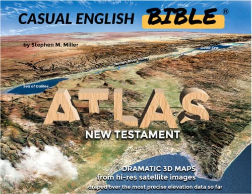
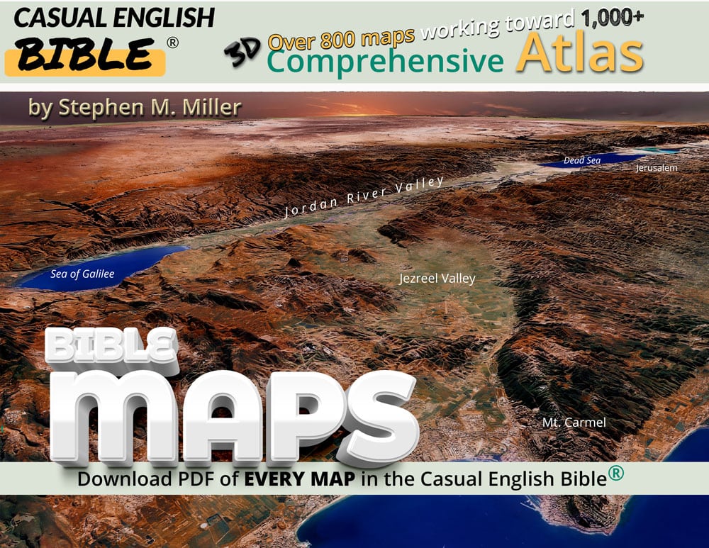
Bible Atlas with 900 PDF maps
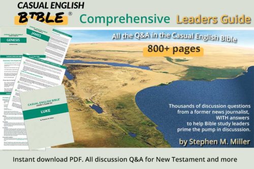
“Comprehensive Bible Atlas 977 PDF maps” is the Big Fish in the pond. It’s one massive collection of ALL the Casual English Bible maps in one HUGE folder. We optimize it for use in phones and tablets (over 100 MB). But the full res, not optimized, is now:
1 GB+ of Bible maps.
- 1,030 pages of high resolution Bible maps within the Bible Atlas PDF
- You get most books of the Old Testament and the ENTIRE New Testament. We’re still working on the Old Testament.
- Free book-by-book updates as work continues on the paraphrase and more Old Testament books are added
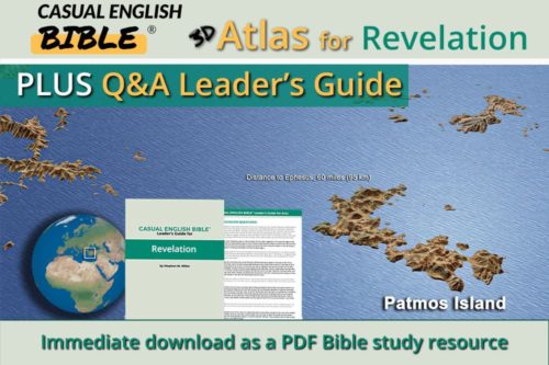
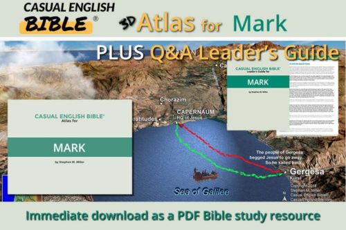
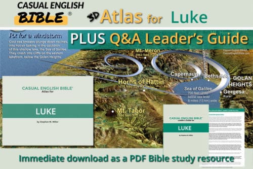
- See Atlas preview of randomly selected maps.
Bible Atlas Preview
Genesis to Revelation
This is a compilation of all the Casual English Bible maps created for each book of the Bible that has some geography going on. Proverbs and Ecclesiastes are exceptions because they are a collection of wise sayings.
These aren’t maps with a zillion place names. Each map is targeted to an individual Bible chapter.
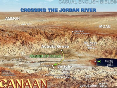
Promised Land or Bust
For example, after Moses died and Joshua took over leading Hebrew ancestors of today’s Jewish people to the Promised Land, they camped in the Plains of Moab, before crossing the Jordan River into Canaan. This Bible map in 3D style gives you a sense of the lay of the land and the sprawling valley where the refugees likely stay for days or weeks.
There weren’t bridges at the time. People crossed in the most shallow areas, called “crossings.” It was a little like walking on a sandbar that’s not as deep as the area around it.
Springtime in the River Valley
The Bible says it was springtime when they crossed and the Jordan River had flooded over its banks from the rains and the snowmelt on Mount Hermon and the Lebanon Mountains in the north.
But the Bible says the water stopped upstream near the city of Adam.
Miracle, earthquake or both?
Okay, this is especially interesting. Rockslides from cliffs above the Jordan River have dammed the water many times in recorded history, most recently in 1956. The entire river valley sits on a fault line, a crack in the earth’s shifting crust. In 1927, a devastating earthquake produced a landslide that blocked the river for 21 hours—incredibly, at what some scholars say is the same site Joshua reported: “Adam” (3:16).
The location today is known by the similar-sounding name of Damiya. It’s about 20 miles (32 km) upstream from the fords near Jericho. So, the epicenter of that quake was somewhere near where the Israelites camped before crossing the river.
Some scholars put the epicenter north of the camp, near the Damya Bridge. That’s some 15 miles (24 km) north of the southern fords of the river. Others place it beneath the Dead Sea, about 20 miles (30 km) south of the river fords. Split the difference and the epicenter would have been below where the feet of the Israelite priests reportedly stood more than 3,000 years ago, when the river stopped flowing for them.
For DIY Bible Mappers
Some Bible study leaders and preachers prefer to have maps without any text on them. They want to show the group or the audience the points of interest within the Bible Atlas themselves.
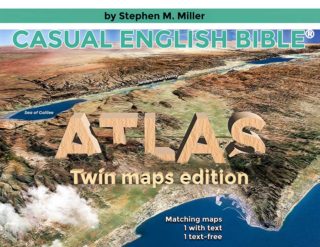
The Twin Maps edition presents maps both ways. The first version of the PDF map is loaded with info as its seen in the Comprehensive Bible Atlas PDF. The second version is bare bones. No text or place dots or lines. Just naked landscape, showing the lay of the land.
Best resource for comparing other Bible translations: Bible Gateway. This isn’t an ad. It’s a recommendation from the Casual English Bible.
To support the work of paraphrasing the Casual English Bible and keeping it free online: