


Numbers - Map Collection
SALE Original price was: $39.00.$20.00Current price is: $20.00.
Plains of Moab: Israel Prepares to Enter Canaan
$10.00
Israel’s Final Camp Before Canaan
After years of traveling through the wilderness, the Israelites finally reached the Plains of Moab, just east of the Jordan River. From this strategic location, they could look across the Jordan Valley toward Canaan. This map shows the landscape where Israel prepared for the next major stage of its journey.
Description
The Plains of Moab and the Jordan River
The Plains of Moab became an important staging area for the Israelites as they prepared to enter Canaan. The map places the Israelite camp east of the Jordan River and shows the rugged landscape surrounding the Dead Sea.
Mt. Nebo stands prominently on the eastern side of the Jordan River. According to the biblical story, Moses later climbed Mount Nebo and viewed the Promised Land from there before his death. The mountain therefore became an important landmark at the end of Israel’s wilderness journey.
The map also shows the Jordan River Valley, the Dead Sea, Jericho, and Jerusalem. These locations help put the Israelites’ next steps into perspective. Jericho was located on the western side of the Jordan River and would become the first major city Israel encountered after crossing into Canaan.
The Plains of Moab were not simply a stopping point. They were where Israel gathered before moving into the land they had been promised. The geography makes the transition easy to picture: the Israelites were camped east of the Jordan, with Canaan lying across the river.
The map also identifies Ammon and Moab to the east and shows a possible route of the Israelites toward Mount Nebo. Together, these features provide a visual picture of the landscape surrounding Israel’s final preparations before entering Canaan
What You Get
- A visual map of the Plains of Moab
- The Israelite staging area before entering Canaan
- The Jordan River and Jordan River Valley
- The Dead Sea
- Jericho and its elevation
- Jerusalem and its elevation
- Mount Nebo
- A possible route of the Israelites toward Mount Nebo
- Moab and Ammon
- The geographic relationship between Moab and Canaan
- A visual aid for understanding Israel’s transition from the wilderness into Canaan
- Helpful context for the final chapters of Israel’s wilderness journey
- A useful resource for Bible studies, classrooms, sermons, Sunday school, and personal study
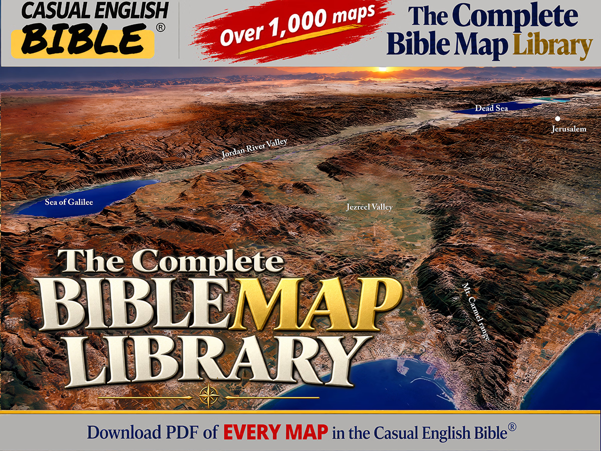
The Complete Bible Map Library
More than 1,000 Bible maps: Get a feel for the lay of the land
What if you could follow the entire Bible on a map—chapter by chapter?
This is every map we’ve created for the Casual English Bible®, all in one place. If geography shows up in a chapter, there’s a map for it. And as new maps are added, they’re included—no extra cost.
You’re not just reading the story anymore. You’re seeing where it happened.
SALE Original price was: $80.00.$75.00Current price is: $75.00.


Reviews
There are no reviews yet.