


Isaiah – Bible Map Collection
Original price was: $49.00.$25.00Current price is: $25.00.
Nile River Bible Map: Egypt’s Lifeline Through the Desert
$10.00
How the Nile River Made Life Possible in Egypt
How did an ancient civilization flourish in the middle of a vast desert? The answer was the Nile River. Its life-giving water created fertile land where people could grow food, build cities, and develop one of the ancient world’s most powerful civilizations. This map follows the Nile through Egypt, from the southern highlands to the fertile delta in the north, helping readers understand why the river played such an important role in biblical history.
Description
The River That Sustained Ancient Egypt
The Nile River was the heart of ancient Egypt. While much of the surrounding land was dry and difficult to farm, the river provided a dependable source of water for crops, animals, transportation, and everyday life. Its narrow valley created a green corridor through the desert, while the Nile River Delta spread into a broad, fertile region near the Mediterranean Sea.
This map highlights the contrast between Upper Egypt in the south and Lower Egypt in the north. The river flows north toward the Mediterranean, passing important ancient centers such as Thebes, Memphis, and the area around modern Cairo. Although the names Upper and Lower Egypt can seem confusing, they refer to the river’s elevation: Upper Egypt is upstream in the south, while Lower Egypt is downstream in the north.
The Nile also played an important role in the Bible. In the book of Genesis, Joseph’s rise to power in Egypt allows him to prepare for a severe famine and save many people, including his own family (Genesis 41–47). Later, the book of Exodus tells how the Israelites lived under Pharaoh’s rule and how Moses confronted the Egyptian king. The Nile appears prominently in the story of Moses as an infant, when he is placed in a basket among the reeds along the riverbank (Exodus 2:1–10).
Egypt’s dependence on the Nile helps explain why the river mattered so much in these stories. It supported the food supply, population, and wealth of the kingdom, making Egypt a place of both refuge and oppression for the Israelites at different points in their history.
By tracing the Nile from its southern course to the delta, this map helps readers picture the geography behind these biblical events. It provides a useful starting point for exploring Joseph’s time in Egypt, the story of Moses, and the important connection between Egypt’s natural landscape and the Bible’s larger story of survival, slavery, and deliverance.
What You Get
- A detailed visual overview of the Nile River and its route through Egypt.
- Key geographical features, including the Nile River Valley and Nile River Delta.
- Locations of important Egyptian centers, including Memphis, Giza, Cairo, Thebes, and Luxor.
- Biblical context for the stories of Joseph, Moses, and the Israelites in Egypt.
- A geography resource for Bible study, teaching, and understanding the setting of the Old Testament.
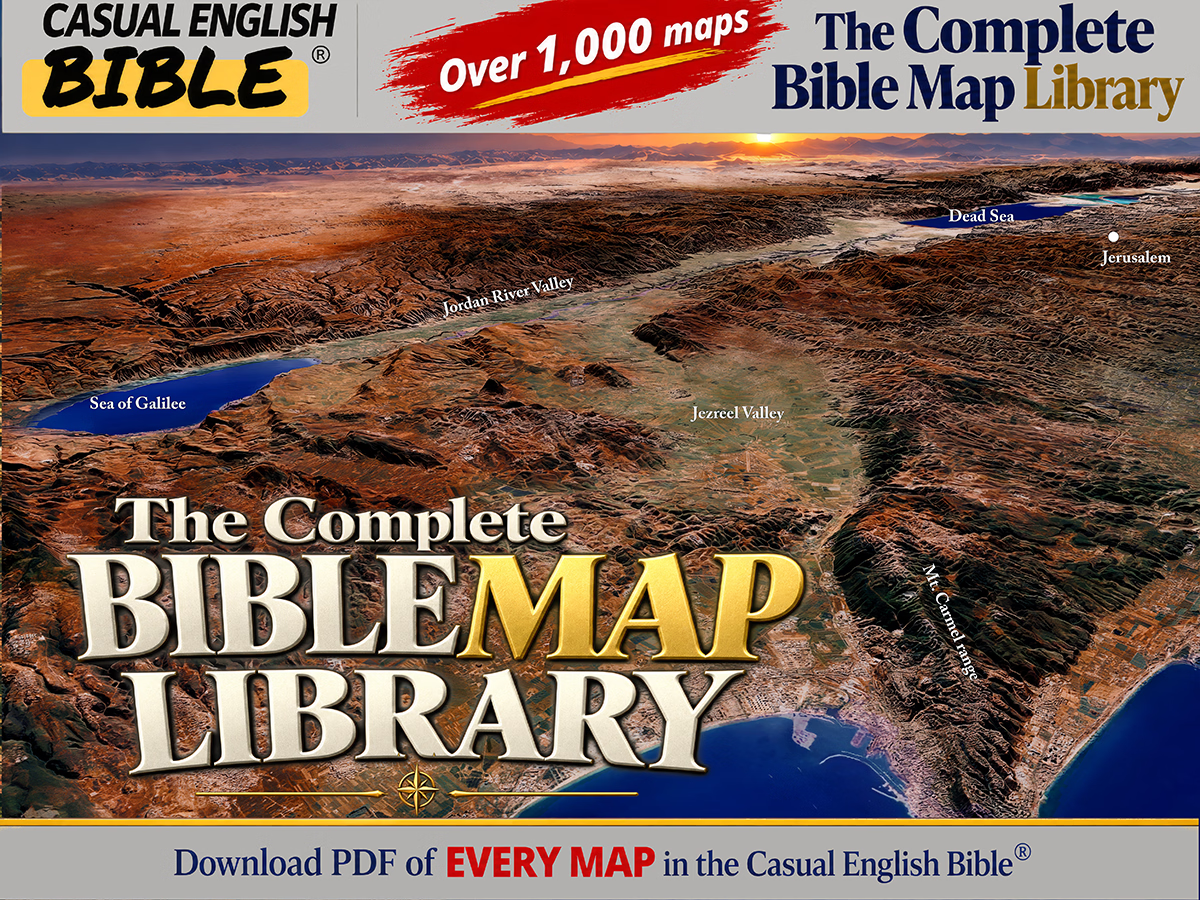
The Complete Bible Map Library
More than 1,000 Bible maps: Get a feel for the lay of the land
What if you could follow the entire Bible on a map—chapter by chapter?
This is every map we’ve created for the Casual English Bible®, all in one place. If geography shows up in a chapter, there’s a map for it. And as new maps are added, they’re included—no extra cost.
You’re not just reading the story anymore. You’re seeing where it happened.
SALE Original price was: $80.00.$75.00Current price is: $75.00.


Reviews
There are no reviews yet.