

Joshua - Bible Map Collection
SALE Original price was: $39.00.$20.00Current price is: $20.00.
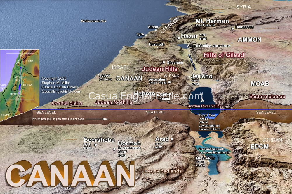
Map of Canaan: The Land of Israel in Bible Times
$10.00
Canaan: The Land Where the Bible Unfolds
From the Mediterranean coast to the Jordan River and from the Sea of Galilee to the Negev, Canaan was a land of dramatic landscapes and important cities. Understanding its mountains, valleys, deserts, and neighboring nations makes the stories of the Bible much easier to picture.
Description
The Geography of Canaan
Canaan was the land God promised to Abraham and his descendants, and it became the setting for many of the Bible's most important stories. The land stretched from the Mediterranean Sea in the west toward the Jordan River and the regions beyond it, with mountains, coastal plains, valleys, and dry southern wilderness all shaping how people lived and traveled.
This map gives a broad view of Canaan and the surrounding regions. It highlights important geographic features such as the Judean Hills, Judean foothills, coastal plains, Jordan River Valley, eastern plateau, and Negev badlands. It also shows major locations including Jerusalem, Jericho, Hebron, Beersheba, Shechem, and the Sea of Galilee.
The geography mattered. Mountains could provide protection but make travel difficult, while valleys and coastal plains created natural routes through the land. The Jordan River and Dead Sea formed a major geographic boundary, and the Negev to the south was a much drier region.
Seeing Canaan as a real landscape helps explain why certain cities, roads, battles, and journeys appear again and again throughout Scripture. This map provides a useful overview of the land where Israel's story unfolded
What You Get
- A detailed physical map of the land of Canaan
- Major biblical cities and regions labeled
- The geographic regions of Canaan, including mountains, valleys, plains, and desert
- The Jordan River and Dead Sea clearly identified
- Neighboring regions including Moab, Ammon, Edom, Syria, and Lebanon
- Elevation information showing how dramatically the land changes
- A helpful visual for understanding the geography behind biblical stories
- An excellent resource for Bible study, teaching, and historical context
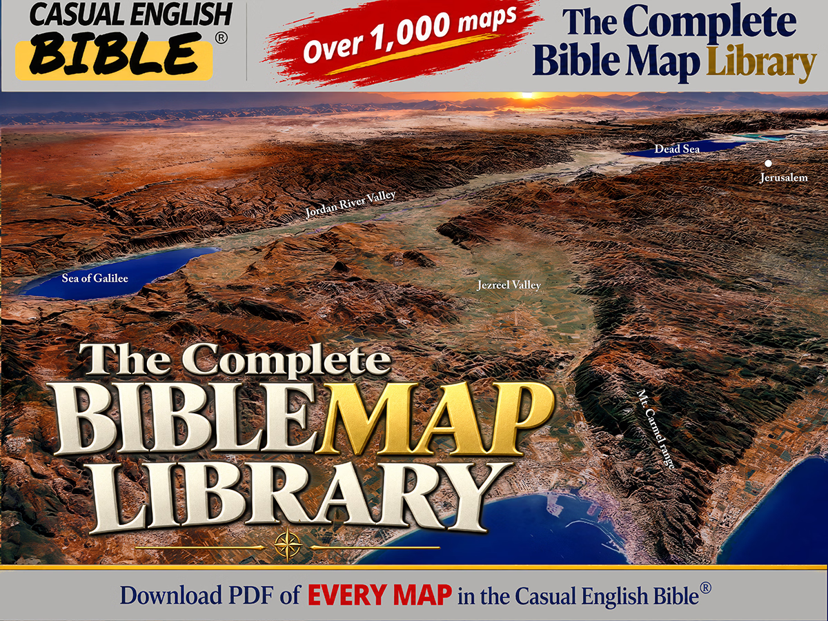
The Complete Bible Map Library
More than 1,000 Bible maps: Get a feel for the lay of the land
What if you could follow the entire Bible on a map—chapter by chapter?
This is every map we’ve created for the Casual English Bible®, all in one place. If geography shows up in a chapter, there’s a map for it. And as new maps are added, they’re included—no extra cost.
You’re not just reading the story anymore. You’re seeing where it happened.
SALE Original price was: $80.00.$75.00Current price is: $75.00.


Reviews
There are no reviews yet.