

Sample maps from the collection
These examples show how maps can turn familiar Bible passages into places people can see and understand.
-

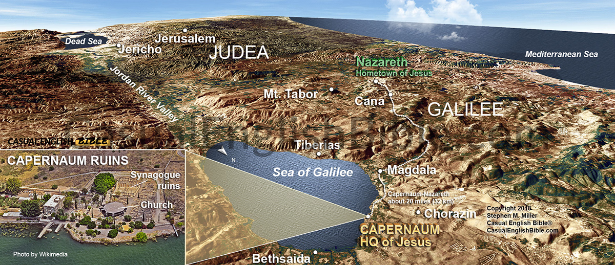
Jesus moves near Sea of Galilee
Show where Jesus launched his public ministry and why Capernaum mattered.
$10.00 -

Samson’s turf: map of Zorah, Timnah, Delilah, and the Sorek Valley
See why Samson lived in the perfect place to get in trouble: right between Israel and the Philistines.
$10.00 -

Jonah’s journey to Nineveh
Turn a familiar story into a real journey across the ancient world.
$10.00 -
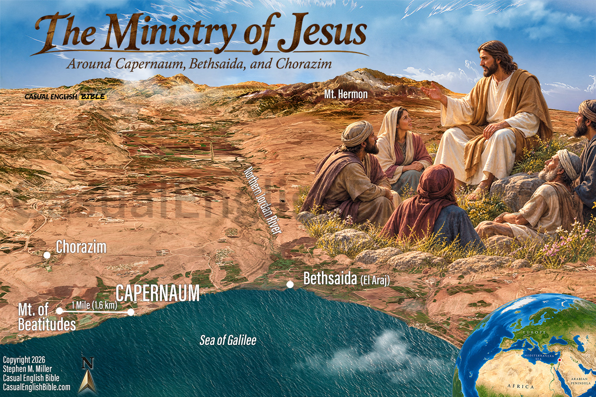
Sermon on the Mountainside with Beatitudes
Help people picture the setting behind one of Jesus’ most famous teachings.
$10.00


Your map isn’t for sale?
"Yes, it is. If a Bible map you want isn’t on display yet, let us know and we’ll get it there. All the 1,000+ maps are available for you. But it’s taking us time to get them all processed."
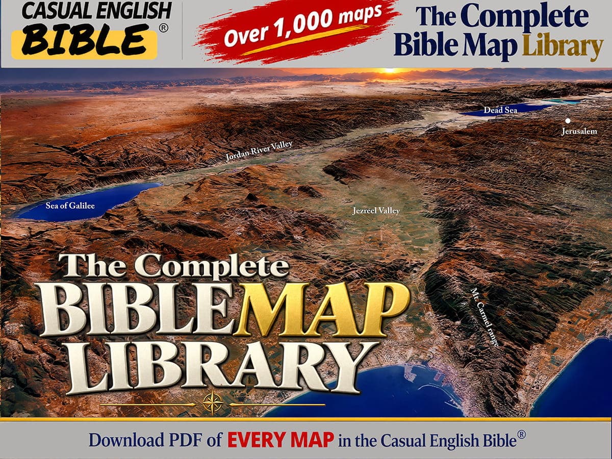
The simplest choice: The Complete Bible Map Library
If you teach the Bible regularly, start here.
1,000+ Bible maps
Covering the entire Bible
Instant download
Start using today
Free updates
Always improving
Mobile + high-res
For any device or use
See the difference 3D makes
A flat map only shows where places are. A 3D map also shows the terrain, so a journey or a battle makes sense at a glance.
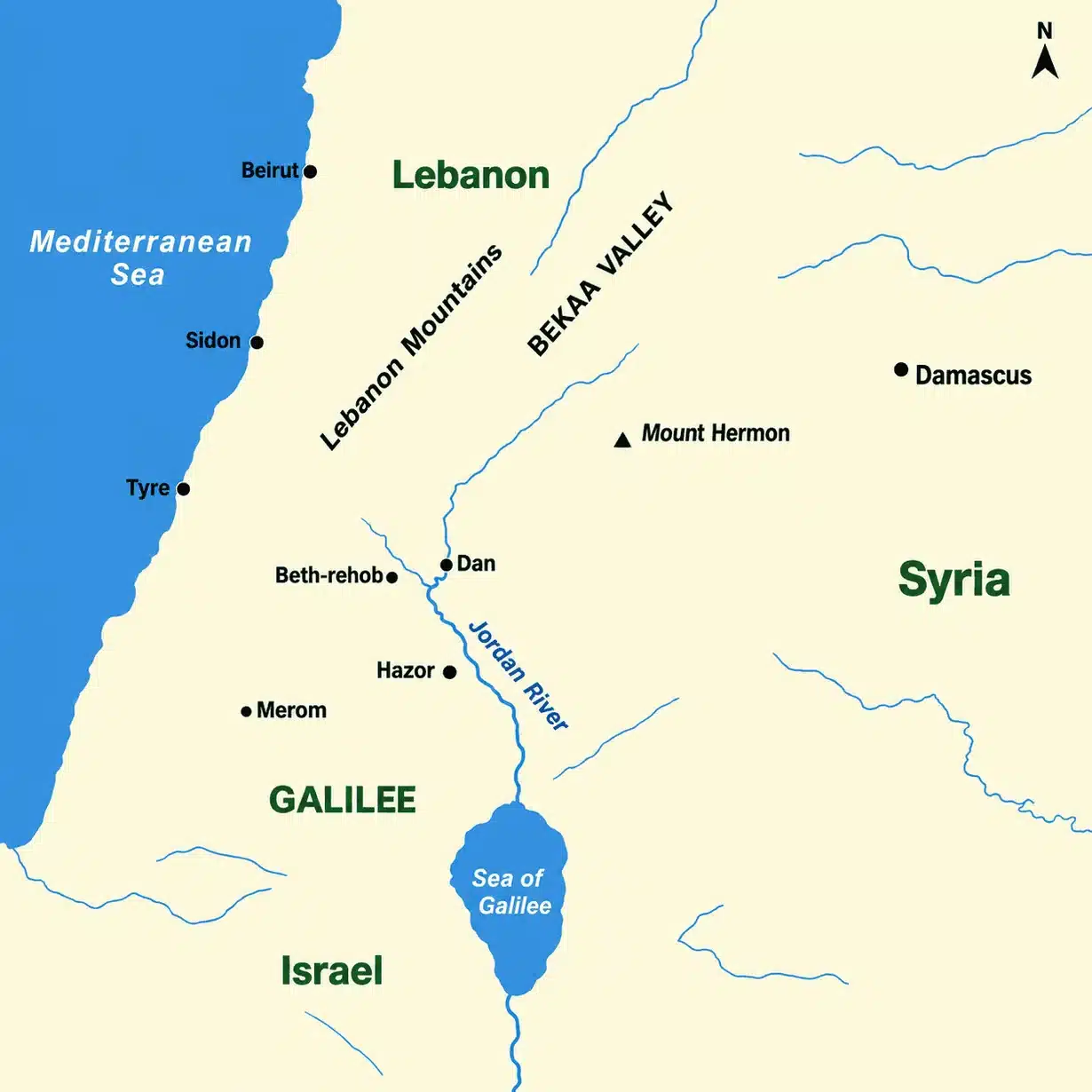
Mount Hermon/Galilee flat map, viewed straight overhead, with place names and symbols but no terrain shading.
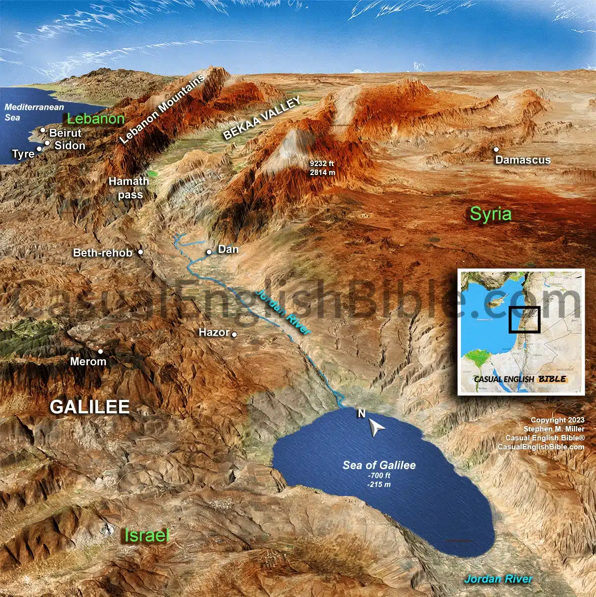
The 3D version of the same geographical area.
The land changes the way people understand the story
David did not fight Goliath in a vacuum. Jesus did not randomly choose Capernaum. Paul did not travel wherever he pleased. Roads, mountains, valleys, deserts, rivers, ports, and borders shaped the stories we read.
These maps help people see what the biblical writers often assumed their first readers already understood: the land matters.

Created by Stephen M. Miller
I created the Casual English Bible to help people understand Scripture in plain, everyday language. These maps grew out of the same mission: helping readers see the world behind the words.
After decades of studying Scripture and Bible geography, I built more than 1,000 maps to make the land of the Bible clearer for pastors, teachers, students, and families.
Hear from our customers
“Highly recommend getting the maps if you want to learn about Bible geography. It really gives you context to your Bible reading.”
— Dennis M.
“Stephen Miller has provided an excellent resource for Bible students and teachers alike. We are all visual learners, and illustrations are especially helpful when teaching groups.”
— Richard B.
“Thank you for your maps! A good map is worth a hundred words. A 3-D map is worth a thousand!”
— Bible teacher, Dennis S.
Choose the way you want to start
Start small with one map, teach through a Bible book, or get the complete collection.
The Complete Bible Map Library
Best if you teach the Bible regularly and want the whole collection.
Book Collections
Best if you are teaching through one Bible book and want maps gathered for that study.
