Obadiah - Bible Map Collection
Original price was: $29.00.$15.00Current price is: $15.00.
Israel, Judah, and Edom Bible Map: The Ancient Lands and Trade Routes
$10.00
Three Nations, One Crowded Land
Israel, Judah, and Edom shared a small but strategically important part of the ancient world. Their borders, roads, and rivalries shaped countless Bible stories, and this map helps make sense of where these kingdoms stood in relation to one another.
Description
Israel, Judah, and Edom
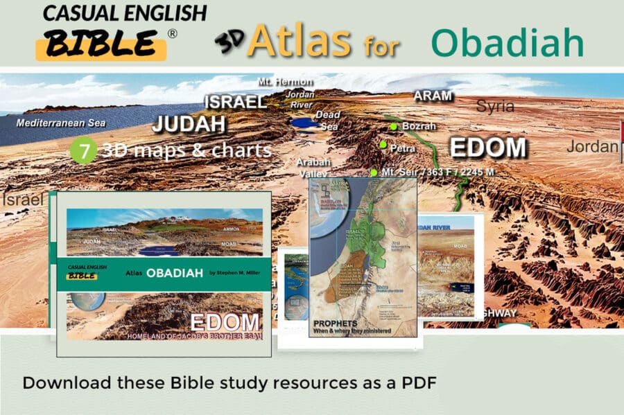
After the kingdom of Israel divided, Israel occupied the northern territory while Judah controlled the south, centered around Jerusalem. Edom lay farther south and east, across the rugged mountains of Mount Seir. These neighboring lands were separated by difficult terrain but connected by important roads that carried travelers, armies, and trade.
The map highlights the King’s Highway, an ancient route running north and south through the lands east of the Jordan River. It connected Syria and the northern regions with Edom and the Gulf of Aqaba. The Jordan River Valley provided another important travel corridor, while places such as Megiddo, Samaria, Jerusalem, and Petra became important centers along or near these routes.
The geography helps explain why these kingdoms repeatedly came into conflict. Israel and Judah had access to fertile highlands and important routes, while Edom controlled mountainous territory and sections of the southern trade network. Moab, Ammon, and Aram were nearby as well, creating a crowded political landscape where alliances and rivalries could quickly change.
Seeing the biblical lands together makes the stories of Israel's kings easier to follow. From Samaria and Jerusalem to Moab, Edom, and the King’s Highway, the landscape shows why location mattered so much in the history of God's people.