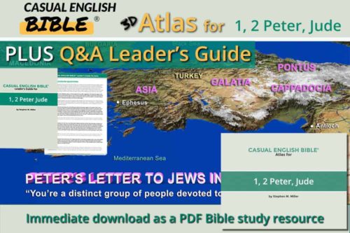

1-2 Peter, Jude Leaders Guide & Atlas
$19.00
Peter writes to Paul's churches
$10.00
What You Get
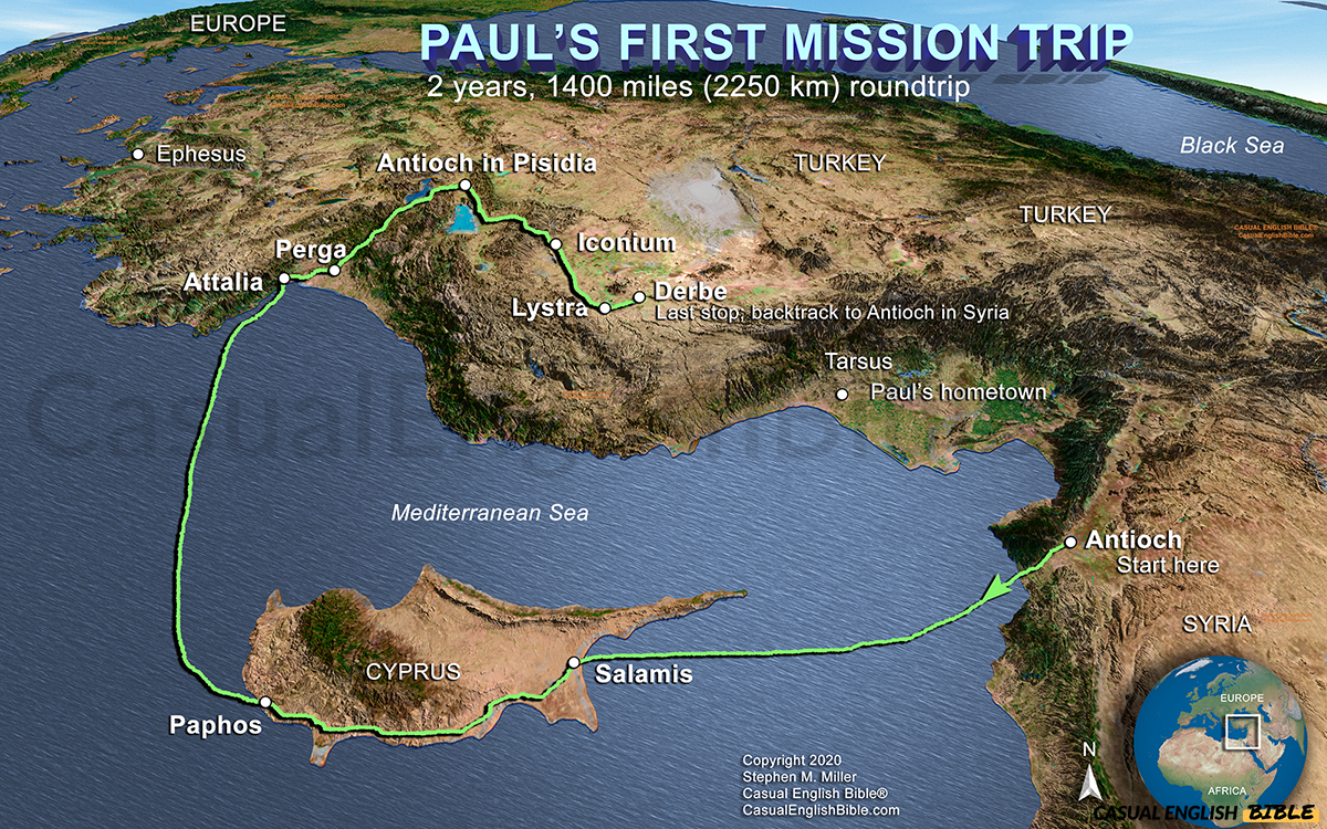
* A high-resolution 3D map tracing Paul’s first missionary journey step by step
* Clear visualization of the full route, including sea travel and inland travel
* Geographic context that brings Acts 13–14 to life
* Insight into the challenges Paul faced—distance, terrain, and opposition
* A practical tool for Bible study, teaching, sermons, and presentations
* Instant download for easy use on screens or in print
* Designed to match and support the Casual English Bible®
Description
Paul’s First Mission Trip: The Gospel Goes Global
This is where it started.
Before there were churches scattered across the Roman world… before letters like Galatians and Corinthians… there was this first bold move. Paul and Barnabas set out from Antioch and carried the message of Jesus into new territory—places that had never heard it before.
This map traces that journey.
They sailed to Cyprus, crossed the island from Salamis to Paphos, then pushed north into what is now Turkey. From there, the trip got harder—steep mountain roads, long distances, and growing resistance. In cities like Pisidian Antioch, Iconium, and Lystra, people responded in two very different ways: some believed, others pushed back hard.
That tension is part of the story.
Paul wasn’t traveling for sightseeing. He was planting churches in unfamiliar territory, often at great personal risk. This first trip—about 1,400 miles round trip—set the pattern for everything that followed. It’s the launch of the missionary movement that would spread Christianity far beyond Israel.
Seeing the route changes how you read Acts 13–14 and Paul’s letters. You begin to understand the distance, the difficulty, and the determination behind every step.
---
What You Get
* A high-resolution 3D map tracing Paul’s first missionary journey step by step
* Clear visualization of the full route, including sea travel and inland travel
* Geographic context that brings Acts 13–14 to life
* Insight into the challenges Paul faced—distance, terrain, and opposition
* A practical tool for Bible study, teaching, sermons, and presentations
* Instant download for easy use on screens or in print
* Designed to match and support the Casual English Bible®