Solomon's 12 administrative districts
Solomon replaces tribal leaders
He sets up 12 districts and appoints directors
Excerpt from 1 Kings 4: 7Solomon created 12 administrative districts in Israel. [3] Each district provided a month’s worth of food for the king and the royal family. 8These are the names of Solomon's 12 supervisors of his administrative districts. They became taxing machines to fund the kingdom.Solomon's administrative districts 1-6
Ben-hur Hills of Ephraim 9Ben-deker Cities of Makaz, Shaalbim, Beth-shemesh, and Elon-beth-hanan; 10Ben-hesed Arubboth, Socoh, and all the land of Hepher 11Ben-abinadab, he married Taphath, Solomon’s daughter Naphath-dor 12Baana son of Ahilud Cities of Taanach, Megiddo, Beth-shan, by the town of Zarethan below the town of Jezreel, and from Beth-shan to Abel-meholah and the other side of Jokmeam 13Ben-geber Ramoth-gilead, villages of Jair son of Manasseh, in Gilead, and the territory Argob in Bashan, with 60 large cities protected by walls and gates locked with bronze barsSolomon's administrative districts 7-12
14Ahinadab son of Iddo Mahanaim 15Ahimaaz, he married Basemath, Solomon’s daughter Tribal territory of Naphtali 16Baana son of Hushai Asher’s tribal land and Bealoth 17Jehoshaphat son of Paruah Issachar’s tribal land 18Shimei son of Ela Benjamin’s tribal land 19Geber son of Uri, governor of the district Gilead, with Amorite territory of King Sihon, and King Og’s land of Bashan.RICH KING SOLOMON
20Judah and Israel filled the land with happy people, who could eat and drink all they wanted. 21Solomon controlled a long swath of land from the Euphrates River southward to the borders of Egypt and Philistine territory. All the people in that stretch of land paid taxes to Solomon for all his life.Solomon's groceries
22Solomon’s household needed this much food every day:- Four tons (3,600 kilograms) [4] of the highest quality flour,
- Eight tons (7,200 kilograms) of coarsely ground grains known as meal,
- 2310 grain-fattened cattle,
- 100 sheep, or goats, deer, gazelle, and poultry such as geese.
For feature articles about the Bible
Stephen M. Miller's blogMap Persian province of Judah

Map Persian province of Judah
Map of the Persian province of Judah
After the Jewish nation of Judah fell to Babylonian invaders in 586, many survivors lived in exile. Some returned 50 years later, when Persians freed them.
It was only a partial freedom. The Jews lived for the next 200 years as a tiny province of Persia: Yehud, which is translated "Judah" or "Judea."
It was roughly a 40-mile-wide square plug of ground (60 km), in territory that became known as Palestine. The Jewish province included Jerusalem and beyond, into what are now central parts of Israel and Occupied Palestinian Territories.
Jerusalem is where Jews sacrificed animals to God. So when the Jews returned, they built a new temple and later restored some of the walls around the city, but not to the larger size it was before the defeat.
Map of Judah as a Persian province
Map of Hosea’s world

Map of Hosea's world
Map of Hosea's world of Israel and Judah and surrounding countries in the mid-700s BC.
Map of Micah’s world

Map of Micah's world
Map of Micah's world of Israel and Judah and surrounding countries in the 700s BC.
Map of Amos’ trip to Samaria

Map of Amos' trip to Samaria
Map of Amos' trip to Samaria in the northern Jewish nation of Israel. He warns them to stop cheating the poor and most vulnerable people, and to stop worshiping at forbidden shrines and temples.
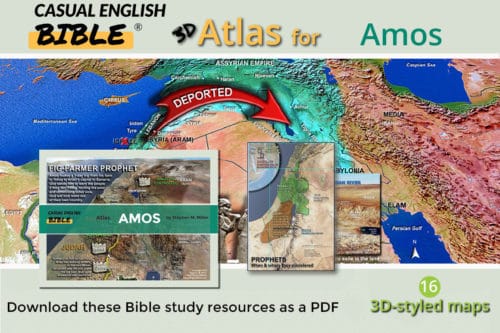
Map of Amos’ world

Map of Amos' world
Map of Amos' world of Israel and Judah and surrounding countries in the 760s BC.