Map of Canaan, Promised Land
Map of Canaan, Promised Land
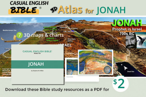
Ancient Israel, known as Canaan, was located in the eastern Mediterranean region on a plug of ground with diverse geography: seacoast, mountains, river valley, desert. There's also some wasteland that's something of a cross between desert, Mars, and the floormat in a '91 Buick Skylark.
Hill people
The land affected where Israelites chose to live. And it directed the battles they fought with neighboring peoples such as the Philistines and others.
The Jordan River runs down the center of the country, providing a source of water for the Israelites and their crops.
Israelites settled in various parts of the country, depending on the availability of water, fertile land, and defensive positions. Hilltops were good. The Bible describes the Israelites settling in areas such as the central hill country, the Jordan Valley, and the coastal plain.
Powerful Philistine enemy
Philistines, a powerful people of the ancient Near East, today's Middle East, lived in the coastal plain. They were a constant threat to the Israelites. The Bible describes several battles between the Israelites and the Philistines, including the famous story of David and Goliath.
The geography of the land also played a role in these battles. The Philistines' control of the coastal plain gave them a strategic advantage in terms of trade and military power. However, the Israelites' knowledge of the hill country and their ability to use it to their advantage helped them win battles against the Philistines.
Israel's many enemies
The Israelites also faced conflicts with other neighboring peoples, including the Canaanites, Amorites, and Moabites. The geography of the land influenced these conflicts as well, with battles often fought over valuable resources such as water and fertile land.
Lay of the land
Map Jerusalem: Israel’s worship site

Map Jerusalem: Israel's worship site
Jerusalem: Israel's worship site
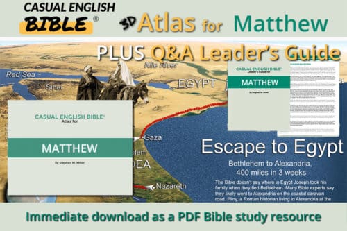
Road to Jerusalem map

Road to Jerusalem map
Road to Jerusalem map.
Road to Jerusalem, Israel's future worship center
Map cities of safe haven

Map cities of safe haven
Map cities of safe haven. These cities of refuge are s where Israelites could flee for a fair trial after they accidentally killed someone. Angry family and friends of the dead victim often felt obligated to execute the killer, whether it the death was accidental or on purpose. The cities were scattered throughout Israel's territory.
Cities of safe haven
Map 12 tribes of Israel in Canaan

Map 12 tribes of Israel in Canaan
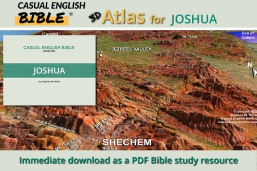
Map of the 12 tribes of Israel in Canaan
Canaan, 12 tribes of Israel
Horned altar

Horned altar
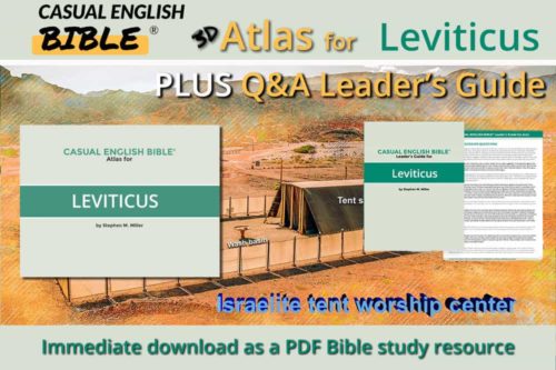
Horned altar like those in Bible times used for sacrificing animals to God.
Promised Land

Promised Land
Promised Land
Land covered in milk and honey
"The Promised Land" is a term Bible writers used to talk about the land that God promised to the Israelites, ancient ancestors of today's Jewish people. People also knew it as Canaan, and described it as "a fertile land where milk and honey flow like rivers" (Exodus 3:17, Casual English Bible).
Boundary descriptions vary
Bible writers describe boundaries of the Promised Land in different ways. In Genesis 15:18-21, God made a covenant with Abraham and gave him the following description of the boundaries: "Everything from the river along the border with Egypt to the great Euphrates River. "
This description covers a vast area, including parts of modern-day Egypt, Israel, Palestine, Jordan, and Syria. The Casual English Bible explains that this description was probably more of a general outline, rather than precise borders.
Boundary in Numbers
Later in the book of Numbers, Moses gave a more detailed description of the Promised Land's boundaries.
South
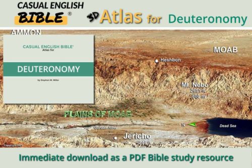
"The Zin Desert will become your southern border. It will extend over to Edom’s border and up the southern tip of the Dead Sea...
West
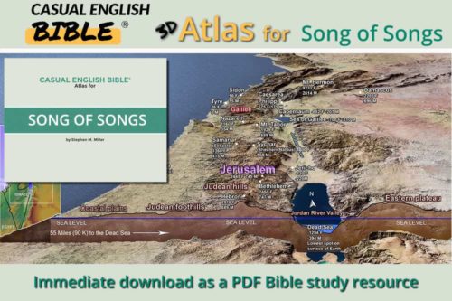
You have a natural boundary on the west coast: the Mediterranean Sea.
North
For your northern border, draw a line from the Mediterranean Sea to Mount Hor of the northland. Stretch that line from Mount Hor to Lebo-hamath to Zedad. Keep the line going to Ziphron and all the way to Hazarenan. That’s your northern border.East
Now for your eastern border. Start your line at Hazar-enan. Run it south to Shepham. 11Take the line down to Riblah along Ain’s east side. Run it down into the hills east of the Sea of Galilee. Then take that line straight down the Jordan River, all the way to the Dead Sea. There you have it, the borders of your land on all four sides" (Numbers 32:3-12).
The Casual English Bible suggests that this description may have been a more precise boundary, but it is still not very specific regarding the southern and eastern borders.
Ezekiel's boundaries
The book of Ezekiel provides yet another description of the boundaries of the Promised Land. Ezekiel's description is more specific, saying that the land would be divided among the tribes of Israel and would include the land of Judea and Samaria. Some scholars say this description was meant to be symbolic, rather than actual borders.
Despite the differences in the descriptions of the Promised Land's boundaries, one point seemed clear to Bible writers: God promised this land to the Israelites as their inheritance, and he delivered on that promise. The Promised Land is a central theme in the Bible, representing a place of God's provision, where his people can live in peace and prosperity.
Tribes camped around worship center

Tribes camped around worship center
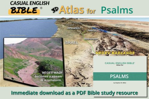
Bible map Streams in the desert

Bible map Streams in the desert
Bible map of streams in the desert. Called wadis, they are usually dry streambeds that can turn into rivers after a rainstorm.
Streams in the desert
Judean hills